Map of the Parish with Priory Farms highlighted
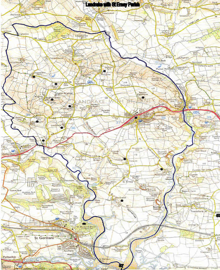
Image produced from the Ordnance Survey
Get-a-map
service.
Image reproduced with kind permission of
Ordnance Survey
and
Ordnance Survey of Northern Ireland
.

Image produced from the Ordnance Survey
Get-a-map
service.
Image reproduced with kind permission of
Ordnance Survey
and
Ordnance Survey of Northern Ireland
.