Parish Map with Prior Farms shown
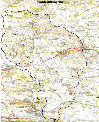
Image produced from the Ordnance Survey Get-a-map service. Image reproduced with kind permission of Ordnance Survey and Ordnance Survey of Northern Ireland.
View larger map (file size 165KB) - may be slow to download.